Coasts & Oceans Observing Lab
Research Lab Overview
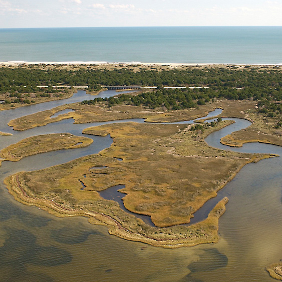
Coastal communities around the world are impacted by severe storms, flooding, and sea-level rise. As these coastal communities continue to build up and expand out, more and more people and infrastructure become more susceptible to the challenges of living on the coast. The Coasts and Oceans Observing Laboratory focuses on answering the who, what, where, when, and how our coastlines are changing around the world and what that means for the communities living at the land’s edge.
The lab answers these questions by using a combination of field data, environmental data, and remote sensing observations to understand how the coastal landscape, both on land and under the sea, respond to natural events and human modifications. The first major focus is to make sense of the observable changes in shape of the coast (structure) in addition to how well it is supposed to work (function). The lab develops new approaches to measure the 3D structure and functional quality of our coastal ecosystems by using satellite technology, state-of-the-art sensors, and cloud computing to identify how an area may change before it happens. Our second major focus is working with directly with stakeholders to build capacity in addressing exposure and sensitivity issues for coastal/wetland management and ecosystem valuation. The goal of the lab is to provide meaningful information that will better inform coastal management practices while also inspiring students, stakeholders, and the community to become environmental stewards in order to help sustain coastal resources.

Contact Information:
Assistant Professor
Department of Coastal Studies – East Carolina University
Coastal Studies Institute
252-475-5453
lagomasinod19@ecu.edu
Current and Recent Research Projects
Mapping Global Coastal Ecosystem Structure and Function
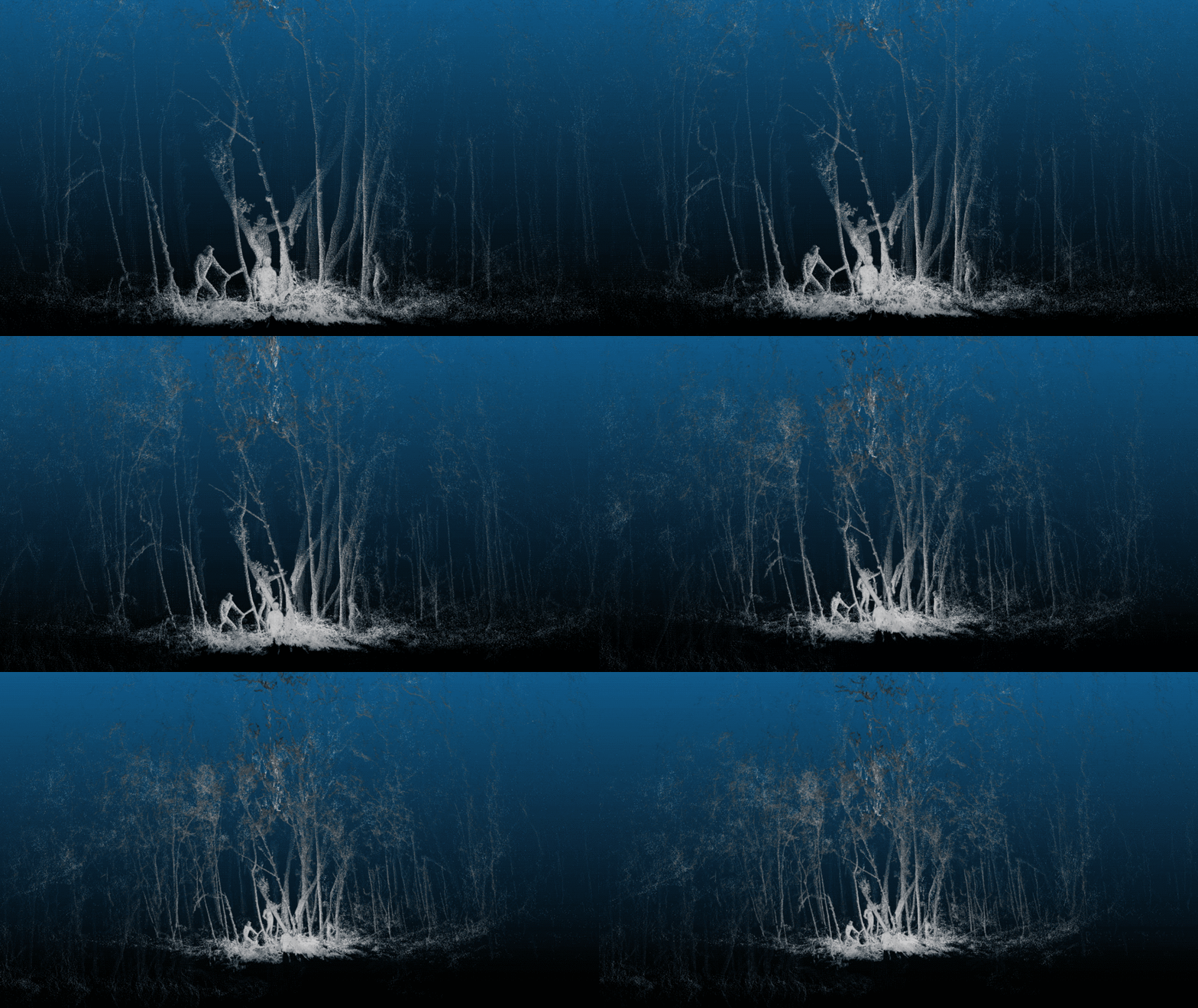
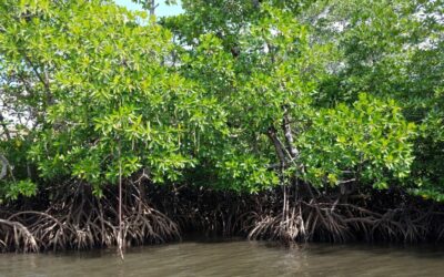
Coastal habitats come in many shapes and sizes. From the tallest mangrove forests in Gabon towering over 60 meters (~200 ft) tall to the marsh grasses of eastern North Carolina, each providing their own set of ecosystem services that support the local communities. New satellite, drone, and ground technologies can be used to improve current observations our coastal in order to develop predictions that are more accurate and predictions of how these ecosystems will respond over time. Our team is interested in developing new approaches to measure the 3D structure and functional quality of our coastal ecosystems using satellite technology and state-of-the-art sensors to help identify areas of change before it happens.

Using Earth Observations in Decision Making
Satellites, airplanes, and drones can give us a glimpse into some of the most remote and inaccessible areas around the world. Whether developing restoration and conservation efforts, identifying causes of water pollution from mining activities, or harvesting invasive species for industrial use, Earth observations and remote sensing can help guide action. These types of data and models provide crucial information for planning and management decisions that might otherwise be overlooked with ground-based measurements alone. Our team is working with local communities, NGOs, and national and state institutions around the world to develop new tools and applications that better inform decision-making practices.
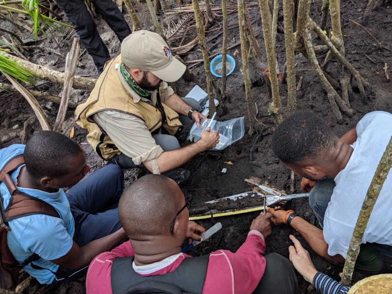
Coastal Resilience and Vulnerability
Disturbances to our coastlines can come in many forms. Whether its chronic salinization from relatively slow processes like sea-level rise or rapid impacts from tropical cyclones. Our coastal ecosystems like marshes, mangroves, and coastal dunes help to reduce the impact from extreme weather events. However, with the increasing frequency of these severe events combined with continued urban expansion and use of coastal resources, our coastal habitats are subject to contamination and change, further reducing their ecosystem services. Our team is focused on developing new monitoring systems and landscape models that capture ecosystem disturbances, rebounds, and collapse and quantifying those impacts to help reduce vulnerability in coastal communities and minimize economic losses during extreme events.
Lab News
Related Research Focus Areas
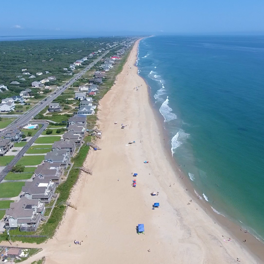
Coasts
&
People
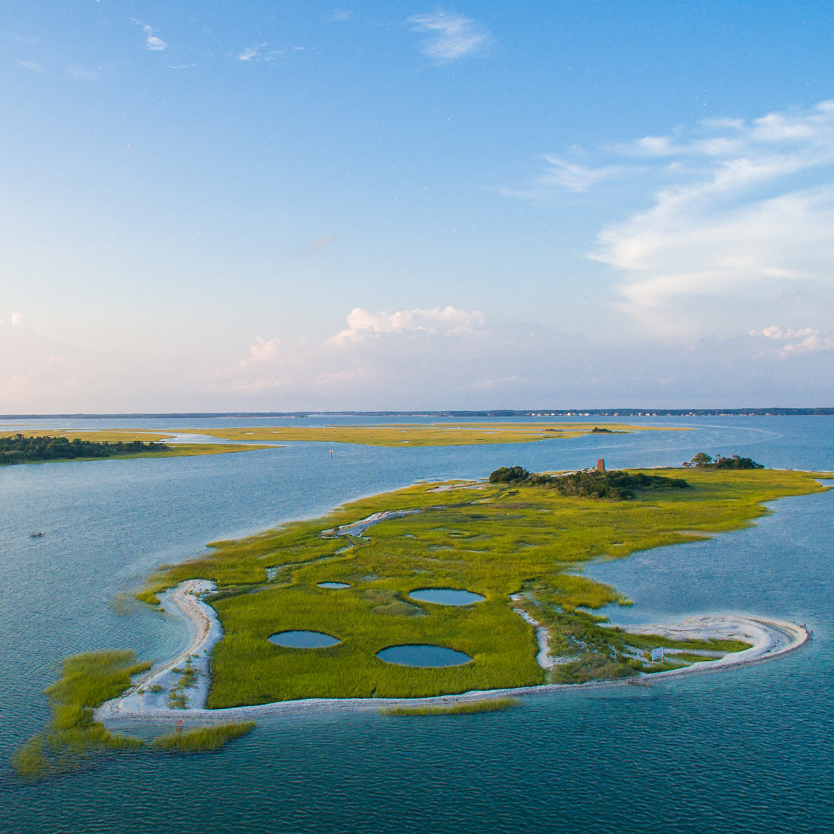
Marine
&
Coastal Ecosystems
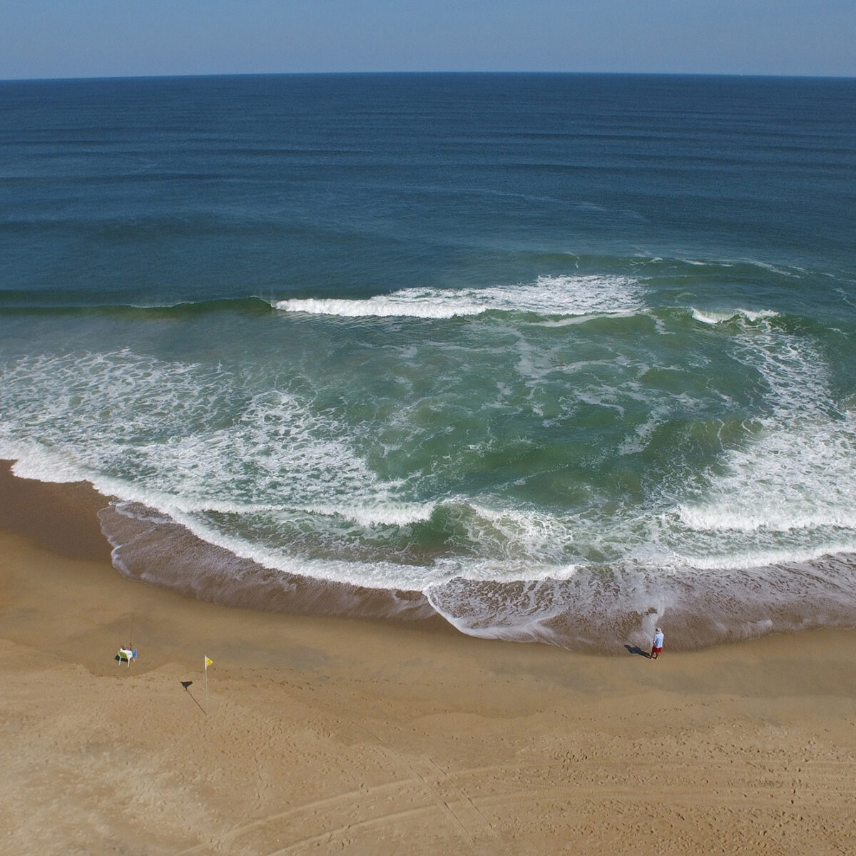
Oceanographic
&
Coastal Processes
Marine & Coastal Resource Management


 Based at the Coastal Studies Institute (CSI), the North Carolina Renewable Ocean Energy Program (NCROEP) advances inter-disciplinary marine energy solutions across UNC System partner colleges of engineering at NC State University, UNC Charlotte, and NC A&T University. Click on the links below for more information.
 ECU's Integrated Coastal Programs (ECU ICP) is a leader in coastal and marine research, education, and engagement. ECU ICP includes the Coastal Studies Institute, ECU's Department of Coastal Studies, and ECU Diving and Water Safety.
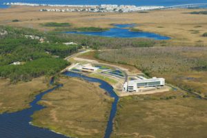 The ECU Outer Banks campus is home to the Coastal Studies Institute.