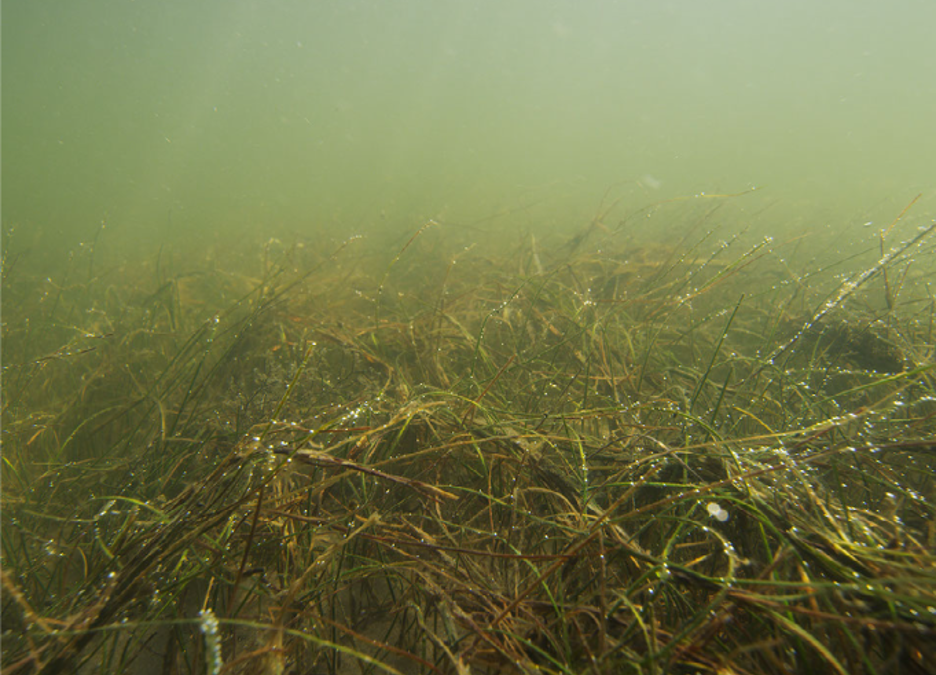
As the name implies, submerged aquatic vegetation (SAV) grows beneath the surface of the water, in shallow depths. Although these underwater grasses may seem to keep a low profile, they are incredible multitaskers, helping to sustain life within marine, estuarine, and riverine environments by providing:
- a refuge for small fish and shellfish to hide from larger fish predators;
- habitat for many species;
- absorption of wave energy and nutrients, producing oxygen and improving water clarity;
- settlement of suspended sediment in the water and stabilizes bottom sediments;
- protection for shorelines from erosion; and
- opportunities for fishing, crabbing, waterfowl hunting, wildlife study, and bird watching.
SAVE Currituck Sound is a two-year project funded by the North Carolina Department of Transportation (NCDOT) and headed by CSI director and scientist Dr. Reide Corbett in collaboration with the U. S. Army Corps of Engineers (USACE) Field Research Facility and Continental Shelf Associates, Inc.
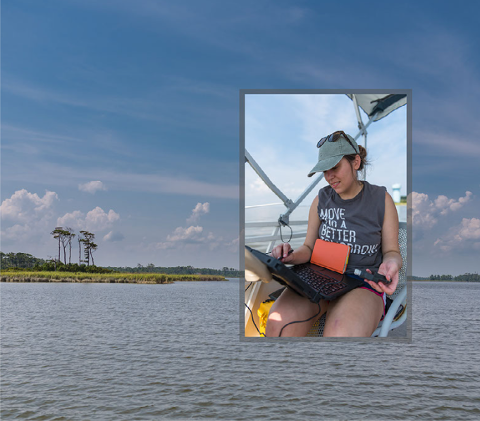
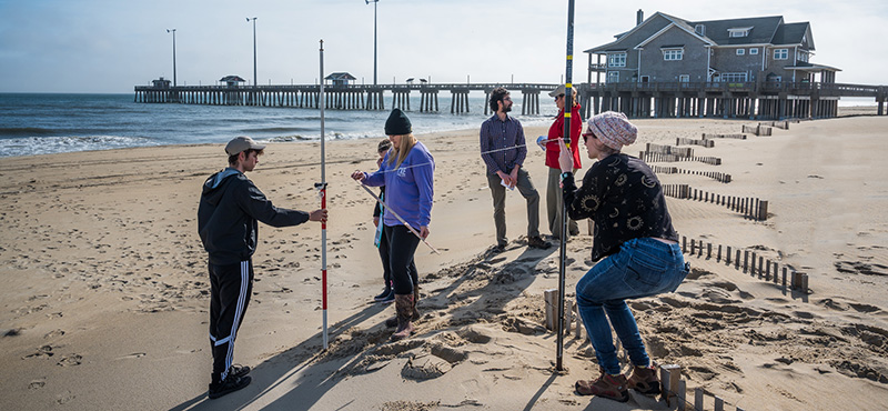
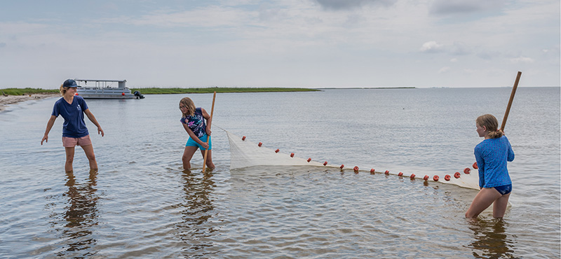
Work involves placing transects and collecting sediment samples at two sites in the Currituck Sound. By measuring biological, chemical, and physical parameters at each site in the Currituck Sound, researchers can understand how the drivers of SAV distribution change with time. Analyzing samples and quantifying water column parameters can determine short-term changes in distribution associated with seasonal growth. Aerial imagery can assess long-term changes.
Meteorological and water data from observing platforms in the Currituck Sound, installed and maintained by the USACE Field Research Facility will provide information on how environmental factors — waves, turbidity, salinity, etc. — affect SAV distribution. “Broadly what we’re trying to do is understand the primary drivers of SAV distribution in the Currituck Sound, which has had significant change over the last three or four decades,” explains Dr. Corbett.
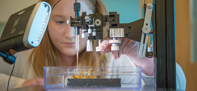
In the lab, researchers are conducting further analysis on sediment grain size to categorize bottom type and using water samples to measure total suspended sediment. Throughout the study, comparisons have been made to historical data from the 1950’s, 70’s and 90’s to identify changes in these parameters as well as shoreline changes through time.
The study continues until October 2019 and will play a role in developing and refining the mitigation measures to be taken by NCDOT in low salinity, water-dependent projects where SAV is a critical part of aquatic ecosystems.


 Based at the Coastal Studies Institute (CSI), the North Carolina Renewable Ocean Energy Program (NCROEP) advances inter-disciplinary marine energy solutions across UNC System partner colleges of engineering at NC State University, UNC Charlotte, and NC A&T University. Click on the links below for more information.
 ECU's Integrated Coastal Programs (ECU ICP) is a leader in coastal and marine research, education, and engagement. ECU ICP includes the Coastal Studies Institute, ECU's Department of Coastal Studies, and ECU Diving and Water Safety.
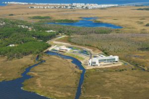 The ECU Outer Banks campus is home to the Coastal Studies Institute.